Photo Gallery
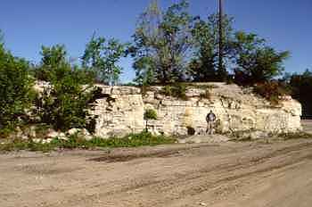
Hartung Quarry
© The Field Museum - CC BY-NC
© The Field Museum - CC BY-NC
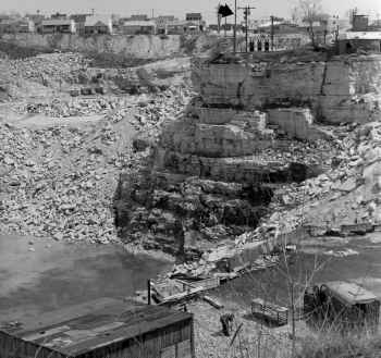
Hartung Quarry
© The Field Museum - CC BY-NC
© The Field Museum - CC BY-NC
Sites
-
North America, USA, Wisconsin, Milwaukee, Hartung Quarry. [LL]